Geomatic Equipment
GIS offers advanced geospatial solutions for mapping, surveying, and data analysis using the latest technology and tools.
Services:
- Land surveying and cadastral mapping.
- High-resolution photogrammetry.
- 3D modeling and visualization.
- Terrain and hydrological mapping.
- Reality capture with LiDAR technology.
Accessories
Efficient and reliable accessories for any surveying and construction work
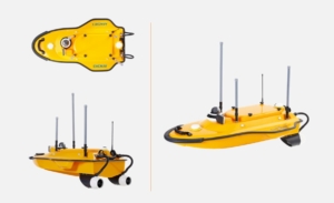
Bathymetry
Specialized equipment for bathymetric survey. Underwater mapping, echosounder and water bodies hydrographic.
Laser Scanners
Laser scanners for indoor & outdoor data acquisition. Archive detailed point cloud for a wide variety of applications
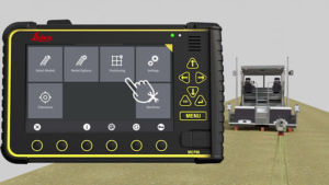
Machine Control
Hard wear and Software for precise control in heavy machinery and earth works
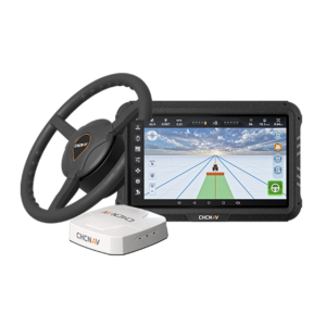
Precise Agriculture
Autosteering equipment for agriculture tractors. Maximizing yield and cutting down costs.
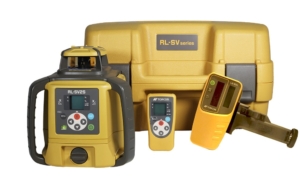
Laser Levels
Wide variety of laser levels for construction and earthworks. High versatile equipment to increase accuracy and simplify work.
Total Station
Wide variety of total stations for professional use in Land surveying, construction, mining, monitoring and more.
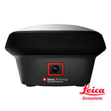
GNSS
Top-of-the-range GNSS equipment for use in a wide variety of industries
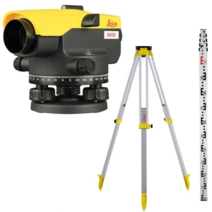
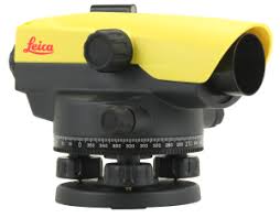
Level
Automatic and digital levels. For construction and precise surveying works
