Integrated Drone-Based Solutions:
GIS provides drone hardware, software, and services to streamline data collection and analysis across multiple industries.
Key Solutions:
- Aerial Mapping & Surveying: Drones equipped with photogrammetry and LiDAR sensors.
- Inspection Services: Infrastructure, energy, and industrial site monitoring.
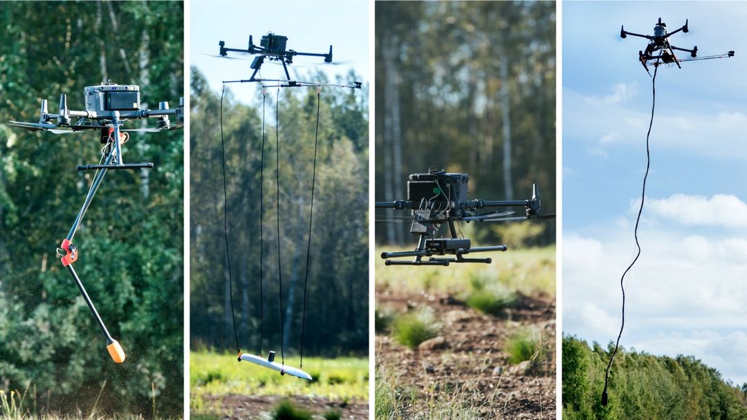
- Environmental Monitoring: Methane detection, water sampling, and vegetation analysis.
- Subsurface Exploration: Magnetometers, GPR (Ground Penetrating Radar), and bathymetry for mining and geophysical studies.
- Public Safety Applications: Search and rescue, disaster management, and law enforcement.
Methane Detector
Deploy a combined remote Methane Detector and Drone System for conducting Surveys of natural gas pipelines, inspecting tanks, monitoring emissions in landfills, testing gas wells, and conducting safety audits within industrial plants.
Altimeter
Allows the Drone to follow the terrain with very high precision at low altitude using an altimeter sensor – True Terrain Following.
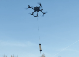
Water Sampler
Collect samples at long distances from the shore without a boat with remote sampling system based on UAV.
